Use APKPure App
Get Online Maps 3D old version APK for Android
3D map with access to huge business directory, search and routing features
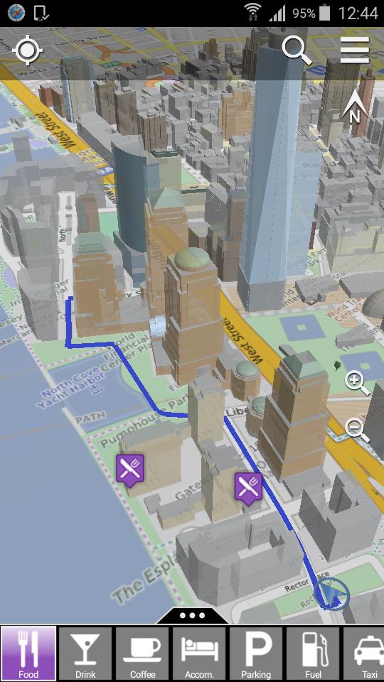
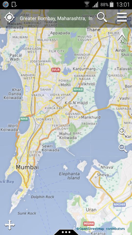
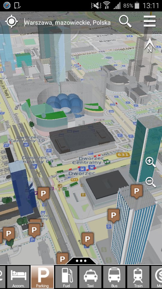
Online Maps 3D displays the OpenStreetMap map on a virtual globe in 3D. Great for navigating in the city and yellow pages search. Buildings are displayed as 3D bodies including roof shapes. By using the integrated 3D acceleration on the device, a very smooth navigation in the map is achieved. The transitions between zoom level is seamless - there is no switching between different display modes.
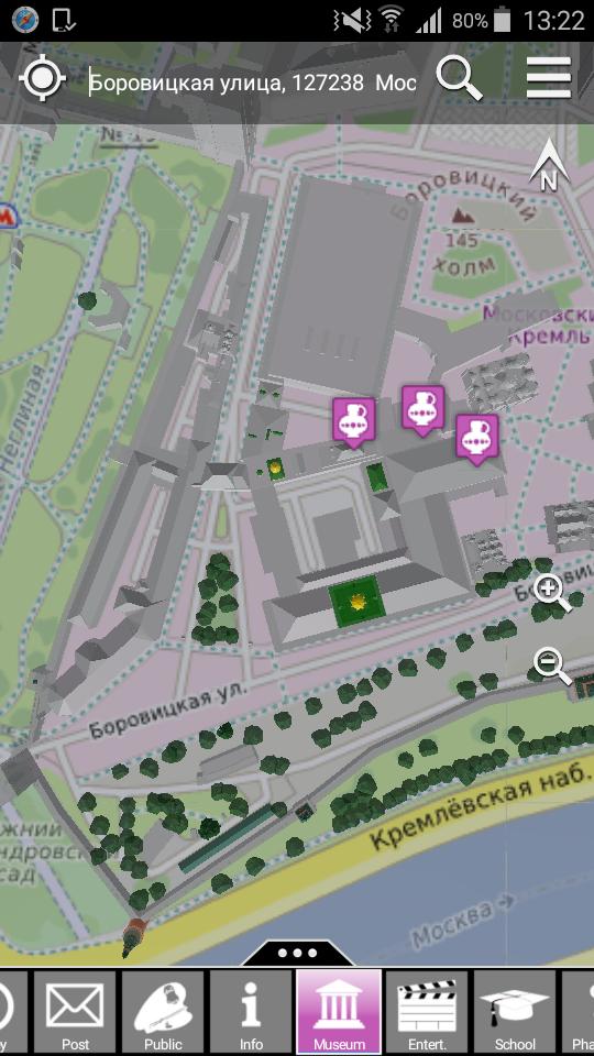
Online Maps 3D provides search functions for addresses and POIs (Points of Interest). Searching for POIs is a great function for finding interesting facilities and places. For example, all nearby restaurants can be displayed on the map while strolling through the town. Moreover, many POI entries contain detailled information on opening hours, type of facility, contact address, telephone numbers, and accessibility for wheelchair users.
Routes can be computed from the current GPS location to POIs within a range of 200km. They can be computed for cars, bicycles and pedestrians taking into account turn restrictions.
Online Maps 3D fetches all maps and data live from the internet. Thus, all content is always up-to-date. By using compression for downloading data, the required data volume and used bandwidth is limited.
Features:
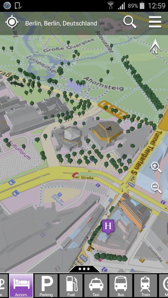
- Display of buildings in 3D
- Optional display of Trees in 3D
- Choice between different map styles
- Car, bicycle and pedestrian routing
- 2 navigation modes: pan, rotate
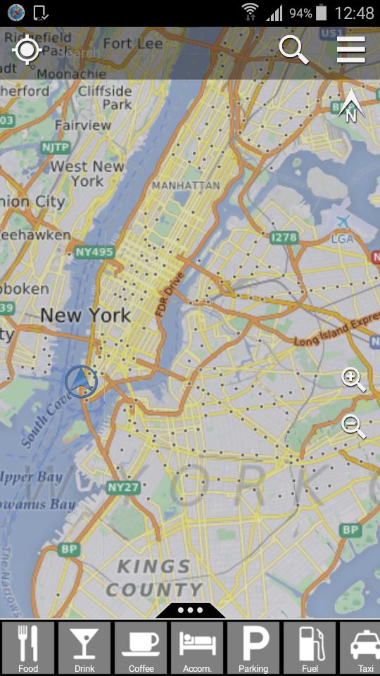
- Distortion-free map display (no map projection!)
- Display optimized for smart phones and tablets
- Display of the accurate GPS position or approximate position bsed on cells or Wifi hot spots
- Global search function for addresses
- Search for POIs in the following categories: eating, drinking, cafes, accomodation, parking, fuel stations, taxi, bus and train stations, ATMs, post, public facilities, info booths, museums, entertainment, schools, pharmacies, hospitals, physicians, public toilets, churches, sport facilities, convenience stores, bakeries
OpenStreetMap is a freely editable map of the world, which anyone can contribute to. In case anything is missing or building heights are incorrect, desktop or mobile editors can be used to fix it.
Dernière version
![]() 1.4.9
1.4.9
Telechargé par
Emiliano Rodriguez
Nécessite Android
Android 4.0+
Catégories
Signaler
Last updated on Jul 24, 2017
new APIs


Discover what you want easier, faster and safer.


Online Maps 3D
1.4.9 by osg-explorer.com
Jul 24, 2017